One of my favorite summer hike by Crystal Caves trail.
January 15, 2010

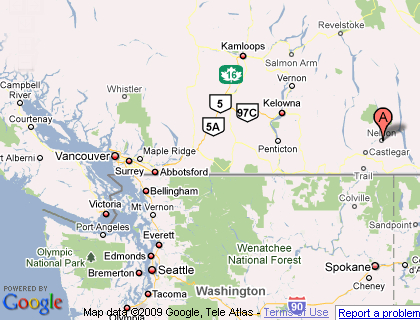
Nelson’s secondary watershed
(Difficulty: Intermediate) Minutes from Nelson downtown, head towards the big orange bridge (hard to miss) on to Nelson Avenue and take a right on Elwyn Street. At the top you will come to a parking area on the right and you can see the old rail road track bed. (Visiting the Kootenays for the first time, or adventuring in the unknown? I recommend to have “The Kootenays (Backroad Mapbook, 4)” handy, trails, logging roads, fishing….it’s got it all!)
The access to Fell creek and Anderson creek is somewhat limited since those two drainage are part of Nelson’s secondary watershed.
Larger Map through Google Map
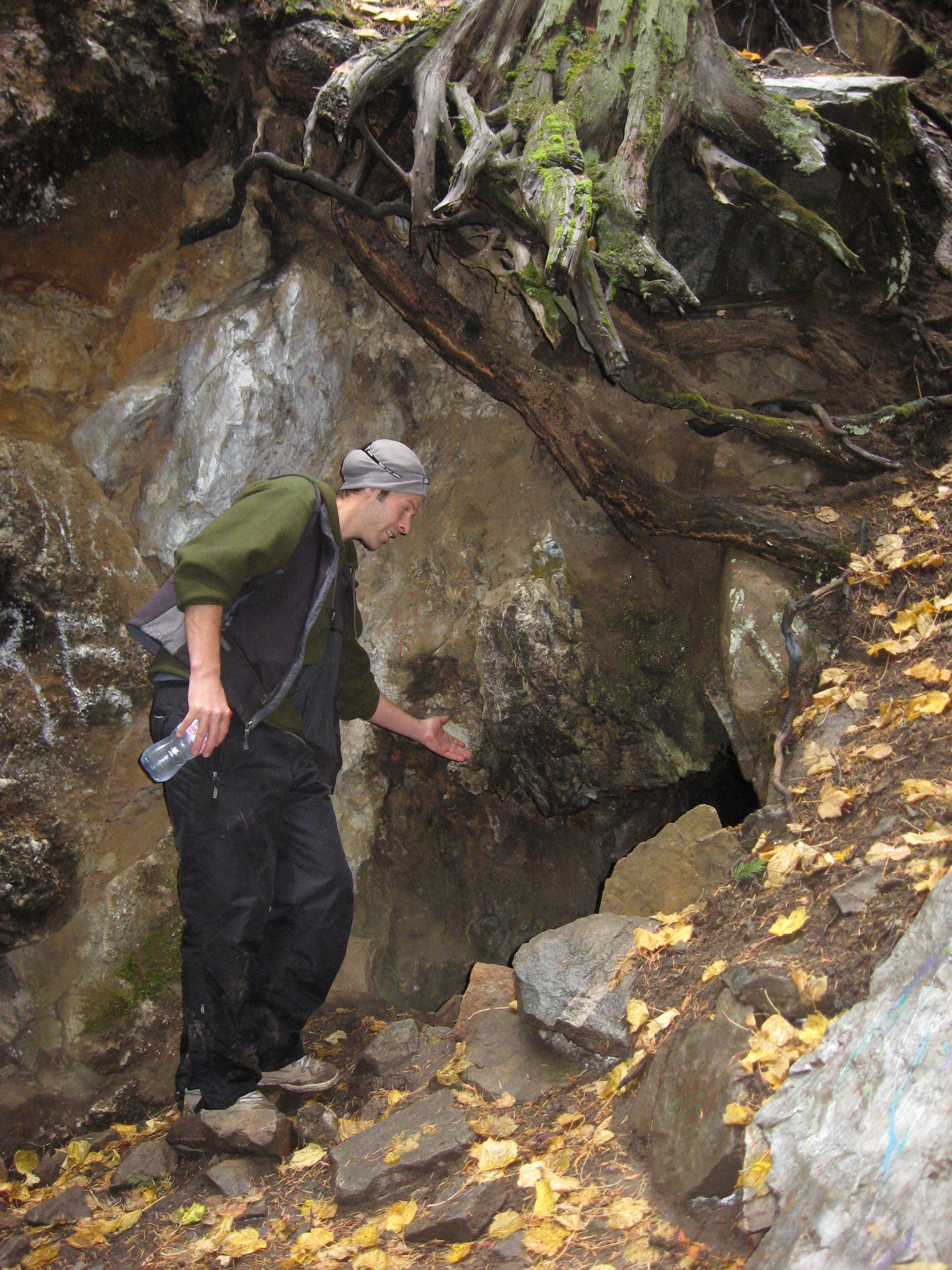
The caves are located on the north side of Fell creek and more easily accessed in the summer time. The Crystal caves are the remains of an old mining prospect, crystal quartz cover part of the rock wall on the exterior of the caves. Make sure to bring a flashlight along, as the caves can be pretty dark, but relatively safe to check out. The cave is laid out in a ‘L’ shape extending to about 25m into the mountain side to a dead end.
As you look up the mountain, you should see a trail that goes pretty much straight up to the right, this trail is pretty short, but can be fairly difficult to the inexperience or young hikers. A little bit of self-orientation is needed to travel across the slope to bypass a fenced area by the water reservoir. After about 300m or 400m there will be a steep goat trail leading to Fell creek. Cross over and follow the path uphill along the south bank of the creek. (If you encounter several giant rock circles, you may have gone up Anderson creek, just back track down to the fork of the to creeks and take the south branch).
This hiking trail will take you through some steep terrain as well as a series of peaceful waterfalls. About 500m after the first crossing, there will be a flat area in the creek with the remains of crushed white quartz and a rock slide across the creek, that when you cross over to the south bank and proceed along the smaller path that follows the creek. Within about 100 to 150m, the trail become somewhat unclear and harder to travel and the caves are about 10m ahead on the left.
Happy trails! And don’t forget, a flashlight and some good hiking footwear. &8-)
-

- Nelson’s secondary watershed
-

- Hiking by Fell creek in Nelson, B.C.

-

- B.C. & Washington map
-

- One of many waterfalls along the hiking trail

-

- At the entrance of the old mine ‘Crystal caves’
-

- Inside the caves

-

- Inside the caves, looking out!

(Visiting the Kootenays for the first time, or adventuring in the unknown? I recommend to have “The Kootenays (Backroad Mapbook, 4)
